Google expands street view to include 40 more underwater locations
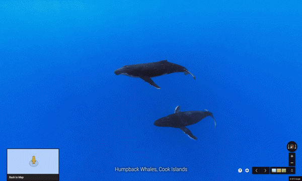
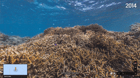
Google Street View has added 40 new locations around the world to their catalog of underwater locations just in time for World Oceans Day on June 8, 2015. Street View has worked in partnership with XL carlin Seaview Survey, NOAA’s office of National Marine Sanctuaries and the Chagos Conservation Trust. The locations include American Samoa, Bali, Bahamas and the Great Barrier Reef.
“Mapping the ocean is key to preserving it. Each image in Google Maps is a GPS-located digital record of these underwater and coastal environments, which can be used as a baseline to monitor change over time. This comprehensive record of coral reefs showcases the beauty of these ecosystems and highlights the threats they face, such as the impact of increasing storms in the Great Barrier Reef and of rising water temperatures, factors causing the reefs to bleach white.”
Google is also working with additional partners to expand its underwater Street View program and produce more images.
Read the full article here.